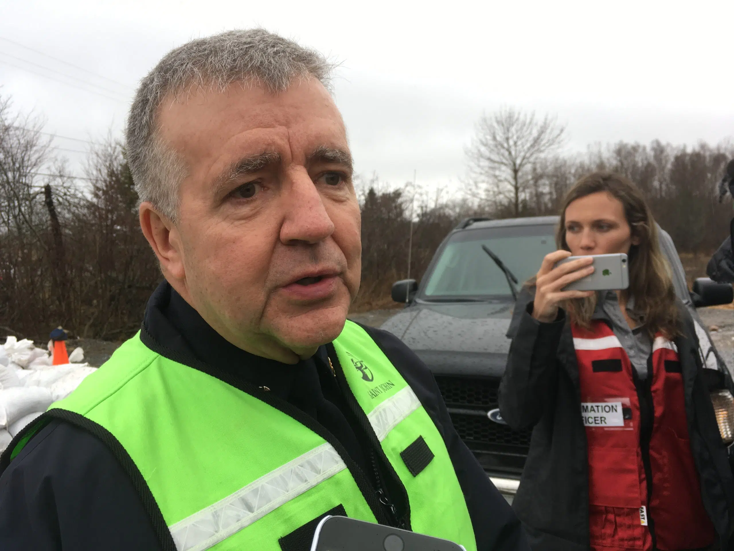
Kevin Clifford, the director of Saint John EMO, speaks to media at a briefing on April 23, 2019. (Brad Perry/Wave News)
Emergency officials in Saint John are bracing for what could be the worst flooding in the city’s history.
Water levels are forecast to reach 5.7 metres on Friday, which would match the record-breaking levels in 2018.
“I worry that 5.7 [metres] might not be the worst of it,” said Kevin Clifford, the director of Saint John EMO, on Tuesday. “Today’s was forecasted to be 4.7, it’s 4.8. Yesterday was forecasted to be 4.3 and it ended up being 4.5.”
Saint John issued a voluntary evacuation notice on Monday night for about 600 residents living along the Saint John River. Several roads in the greater Saint John area are also closed due to flooding.
Clifford urged people to heed the voluntary evacuation, adding the area could be expanded as water levels continue to rise.
“I think what people need to think about is ‘what if I were to have a health issue, heart attack, something were to happen in my home that required an emergency,'” he said.
The flood level in Saint John today is 4.8 metres, with levels projected to reach 5.6 metres by Thursday, and 5.7 metres by Friday.
For reference, our highest peak level last year was 5.7 metres.
Visit https://t.co/uy5VwpGNBS for information and updates. #sjemo #riverwatch2019 pic.twitter.com/3d0ZUvNJoH— City of Saint John (@cityofsaintjohn) April 23, 2019
Clifford said some residents have already left their homes but did not have any exact figures. He noted the city does not have the authority to issue a mandatory evacuation order for flooding.
Saint John EMO is warning access to several areas of the city will be cut off in the coming days due to rising water levels.
Residents living along Westfield Road between Gault Road and Grenville Lane can expect access to be cut off by Wednesday.
People living on Randolph Island should also expect access to be cut off by Wednesday while Ragged Point could be isolated as early as Wednesday.
City engineers are looking to temporarily build up the west end of Westfield Road near Mellinger Crescent, with work expected to begin by Thursday.
“At 5.7 [metres], we realize that unless we build that road up, that we’re going to isolate that whole community of nearly 1,900 people,” Clifford said. “We’re not going to allow that to happen.”
Residents: if you are evacuating due to flooding or have already evacuated, and NEED or DO NOT NEED emergency assistance, please call the Red Cross toll-free to register: 1-800-863-6582. #nbflood #riverwatch #NewBrunswick pic.twitter.com/1dNx3lsmED
— CanRedCrossNB (@canredcrossnb) April 23, 2019
Residents who leave their homes are being asked to register with the Canadian Red Cross by calling 1-800-863-6582.
A reception centre has been set up at the Carleton Community Centre on Market Place West and will be open daily from 8 a.m. to 8 p.m.
Further upriver, water levels surpassed last year’s peak of 8.31 metres and are expected to slowly fall over the coming days.
Water levels in Maugerville, Sheffield, Lakeville Corner, Jemseg and Grand Lake are also expected to level off in the coming days and begin falling.


