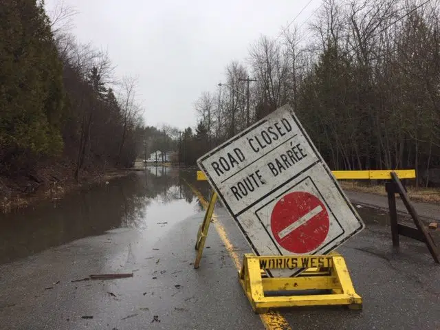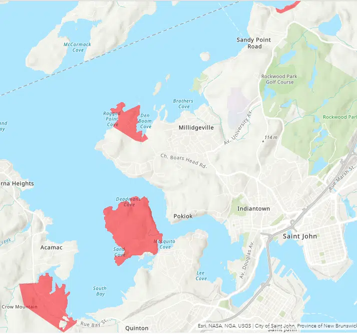
A flooded road in Saint John on April 23, 2019. (Twitter/City of Saint John)
Saint John EMO has issued a voluntary evacuation notice for about 600 people living along the Saint John River.
The notice, issued Monday evening, is for several areas of the city, including:
- Randolph Island past the Randolph Bridge;
- Westfield Road between Bay Street and Grenville Lane;
- Ragged Point Road past the St. Francois De Sales Church;
- Beach Road; and
- Any other isolated area along the Saint John River.
“Emergency access and local traffic to these areas is now limited and could become completely cut off due to increased flooding in the coming days,” said a news release from the city.
“Flooding and road closures could isolate homes in affected areas for five days or more. Emergency services will have limited ability to respond and reach residents who choose to stay in these areas during this time.”
Residents are asked to make their own accommodations with family and friends. Those who are unable to and require assistance can call the Canadian Red Cross at 1-800-863-6582.
All residents who evacuate are being told to register with the Canadian Red Cross so they can maintain contact.
SJ-EMO says information about a reception centre and emergency shelter will be made available on Tuesday.
Sections along several roads were closed due to flooding on Monday evening, including:
- Westfield Road;
- Lawrence Long Road;
- Dominion Park Road;
- By Road #7;
- Beach Road; and
- Bravo Landing (Millidgeville Ferry Entry).
Water levels are forecast to reach 5.3 metres in the Saint John area on Friday. This exceeds the 2008 flood level and is close to the height of the 2018 flood at 5.7 metres.


