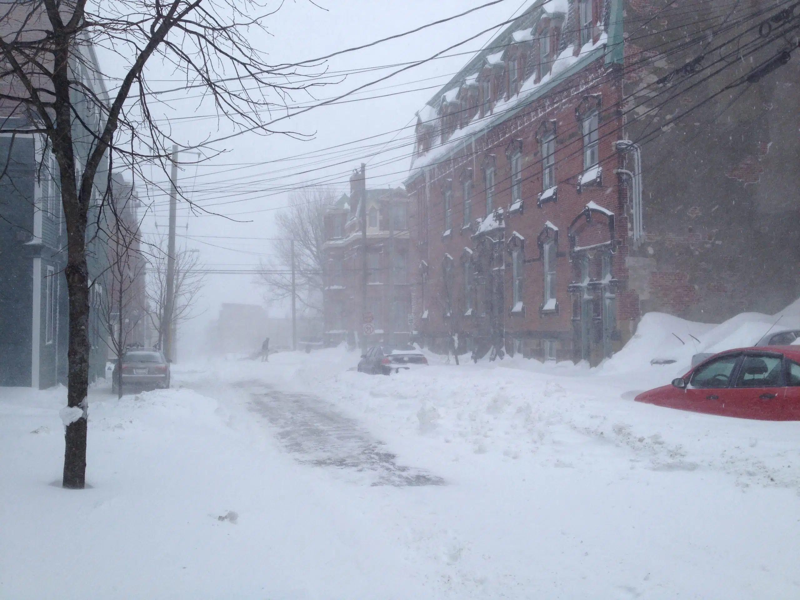
Stock up on storm chips and get your shovels ready — we are in for another winter storm.
Environment Canada says heavy snow will start in southwestern New Brunswick late Tuesday night and spread eastward overnight.
Meteorologist Jill Maepea says we will see a mixed bag of weather along the Fundy coast.
“We are looking at about 15 to 20 centimetres of snow before [Wednesday] morning,” said Maepea. “It will probably become mixed with or change over to some ice pellets and eventually maybe some light rain towards the end of the day.”
Maepea said snowfall amounts will be higher inland, where the precipitation will fall mainly as snow.
The Kennebecasis Valley and Sussex area will see 20 to 25 centimetres of snow, Fredericton could get up to 30 centimetres, and northwestern New Brunswick could receive up to 40 centimetres.
Maepea said the worst time for travel will be right around Wednesday morning’s commute.
“We are expecting easterly winds to pick up. We could see some gusts to 70 kilometres per hour during the day, and that’ll be blowing around some of that snow, especially in the morning for the southern areas of the province,” she said.
The precipitation will taper to flurries on Wednesday evening, Maepea said, and daytime highs will remain at or above seasonal through the weekend.


